Beyond the Campground Map: Discovering Your Next Perfect, Private Campsite

Beyond the Campground Map: Discovering Your Next Perfect, Private Campsite
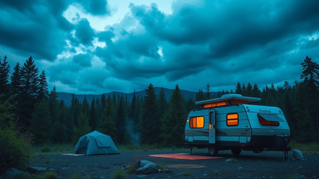
It's a common thought among campers, especially those new to exploring beyond established sites: finding a genuinely private, serene campsite feels like pure chance. Many of us rely heavily on popular online reservation systems or widely reviewed apps, assuming these are the only pathways to a decent spot. We scroll through photos and book months in advance, often only to arrive and find ourselves nestled bumper-to-bumper with neighbors, listening to their late-night chatter. This isn't the solitude most of us dream of. The truth is, while those platforms are convenient, the real magic—the quiet, untouched beauty—often lies just a little further afield, waiting for those who know how to look. This isn't about ditching technology; it's about adding seasoned strategy to your search, combining digital scouting with on-the-ground observation. This article will equip you to identify those secluded havens, ensuring your next outdoor experience is exactly what you hoped for: private, peaceful, and perfectly yours.
How do you uncover those quiet, out-of-the-way campsites?
Finding a campsite where you don’t hear your neighbor’s conversation often means venturing onto public lands designated for dispersed camping. Think National Forests and Bureau of Land Management (BLM) areas – vast tracts where camping is generally allowed outside of developed campgrounds, usually free and without reservations. But "allowed" doesn't mean "easy to find." It requires a bit of detective work.
Your best friends here are detailed maps and a willingness to explore. Forget standard campground maps; we're talking about tools like Gaia GPS or desktop Google Maps and Earth, used specifically for satellite imagery and topographic features. These aren't just for navigation; they're for reconnaissance. Look for established dirt roads or two-tracks branching off main routes. These are often Forest Service Roads (FSRs) or BLM routes, your gateway to dispersed sites.
Before you even leave home, spend time poring over Motor Vehicle Use Maps (MVUMs). Published by the U.S. Forest Service, MVUMs clearly show which roads are open to public vehicle traffic and, crucially, where dispersed camping is permitted – usually within a certain distance from designated routes. MVUMs are gold for finding legal, drivable access to secluded spots. You can usually find them on the specific National Forest’s website. It can feel like reading a complicated blueprint at first, but once you get the hang of it, they become invaluable.